Polymarph / Media & film services
Drone & Aerial Production
Reveal scale, setting and relationships through aerial photography and filming for properties, infrastructure, landscapes and larger productions.
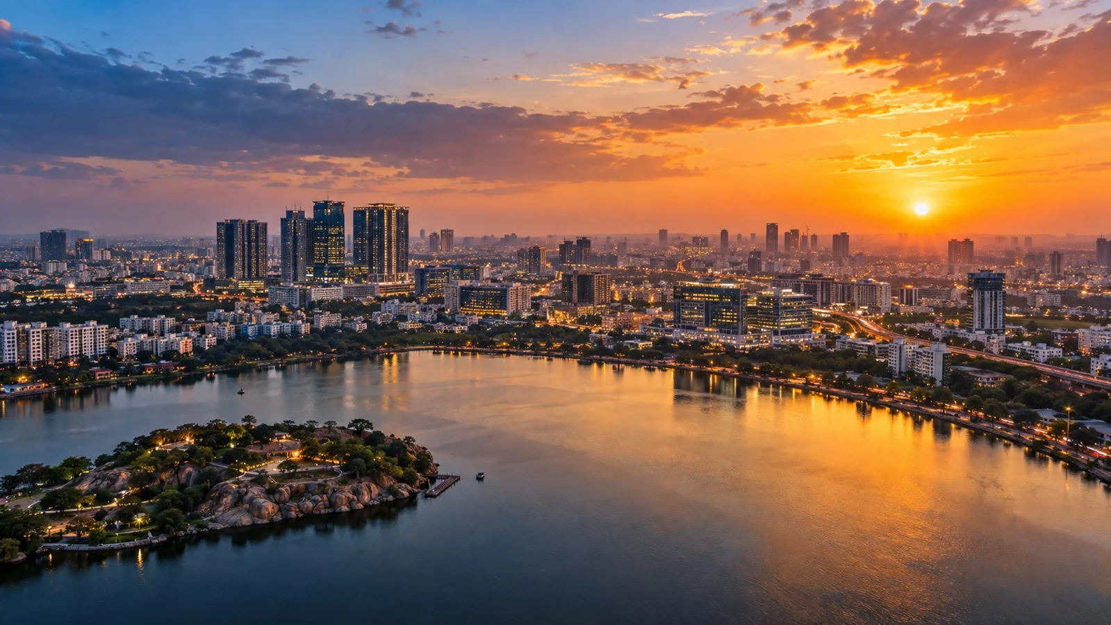
Some places only make sense when you step back. An aerial view can show how a building sits within its neighbourhood, how far a project has progressed or how a landscape changes around it. Used with purpose, it gives viewers context that a ground-level camera cannot always provide.
What we can create
- Cinematic aerial footage and photography
- Real-estate and infrastructure views
- Recurring construction progress coverage
Planning your project
We assess the site, intended shots, airspace, access, weather and operational feasibility. Qualified operators and applicable permissions are arranged for the confirmed assignment.
A considered production process
Brief & preparation
We define the visual objective and review the location, proposed viewpoints, flight conditions and applicable permissions. Feasibility depends on local airspace rules, site access and operating conditions.
Production & craft
Flight timing and movement are planned around light, weather and the story. Aerial footage can be captured as standalone material or coordinated with ground filming for a complete sequence.
Review & finishing
Footage and images are selected, edited and finished for the agreed use. In India and abroad, flights are subject to the relevant licensing, permissions and local operating requirements.
What you receive
Agreed aerial footage, selected aerial photographs and edited sequences or progress records where included.
Your final assets are organised for the agreed website, presentation, social or print use. Formats, versions, usage rights, review rounds and delivery dates are confirmed in the project brief. Based in Hyderabad, we support projects across India and international assignments by arrangement.
Scope & practical considerations
Flights depend on local aviation rules, permissions, weather and safe conditions. No location or flight is guaranteed before assessment. Survey-grade mapping and engineering measurements require specialist scope and are not implied by cinematography.
The scope, crew, specialist resources, permissions, schedule and deliverables are agreed for each project. Images illustrate the service and are not a claim of a completed client project.
Have something in mind?
Let’s bring your brief to life.
Share your idea with our Hyderabad team. We reply within one working day.